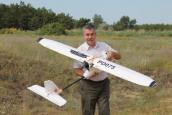
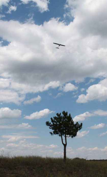
Using modern unmanned aerial vehicles (UAVs) for forest monitoring is common in European Union countries. In Ukraine, forestry research institutions are just beginning to explore this technology. In July-August 2018, test flights of a PD1900 UAV were conducted over the experimental forestry of the "SF UkrNDILGA" enterprise. Aerial photography and video recording were performed from altitudes of 150 and 80 meters. The obtained materials were processed using specialized software. Favorable conditions for such operations include windless and cloudless weather in the morning.
Forest Monitoring with Drones
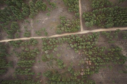
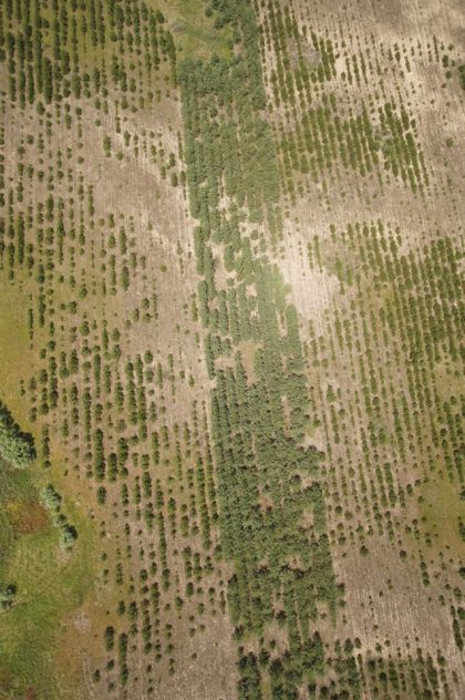
The images taken from altitudes of 50 to 300 meters allowed for the creation of orthophoto maps. These maps help assess forest areas, detect deteriorating vegetation, track human and animal activity, and predict the spread of forest diseases. Additionally, UAVs can be used to monitor fire outbreaks, assess reforestation quality, and calculate NDVI indices to measure vegetation health.